Postcard #3
Saturday, January 26
Central Patagonia has been great to visit. From Coyhaique
(45º 33' latitude) to the south it is a dry landscape though not
nearly as dry as the Argentine pampa, according to fellow travellers.
To the west all one sees are the craggy peaks which mark the eastern
edge of the Campo Hielo Norte, the northern ice cap, one of two
continental ice caps. Snow and ice glaciers ooze out of the narrow
passes like octopus arms. Cerro Castillo is the most impressive
series of jagged, sawtooth peaks.
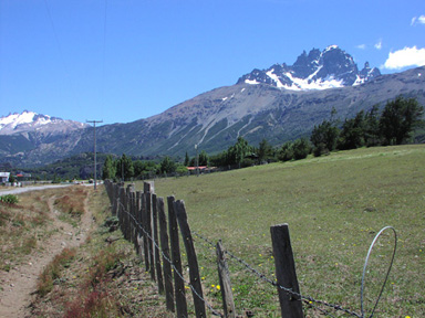
Cerro Castillo
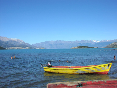
Puerto Tranquilo, Lago General Carrera
The road beyond Castillo is only gravel. At one point it becomes
very smooth as it consists only of compacted lava from the 1991
eruption of the Hudson Volcano. At one valley the river changes
course and destroys millions of trees drowned in its wake. The fine
lava dust enters the pores of the skin even with the windows closed.
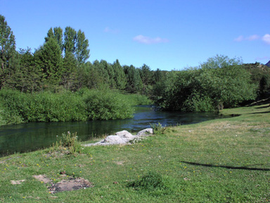
I stopped for the night in Puerto Tranquilo, on the shore of Lake
General Carrera, the second largest in South America. I flew over
this lake in 1965 and have wanted to see it at ground level since
then. It is about 150 kilometers long and quite wide, with an unusual
milky green color which identifies the water as coming from glaciers.
The mountains in the background line the southern shore of the
lake.
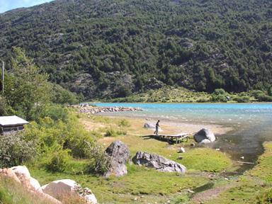
Puerto Bertrand, Río Baker
near Cochrane
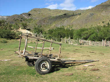
The next day my bus turned away from the lake to the southwest,
along the Baker River, the most voluminous (caudaloso) in Chile.
Another two hours brings us to Cochrane (pop. 4,000). The earliest
road to Cochrane was from Argentina, over the Roballos Pass. The
region was settled in 1903 by a large company which brought herds of
sheep and farmers to work the animals and the land. Now there is a
Chilean road from Coyhaique from the north. The history and mythology
of the region are fascinating.
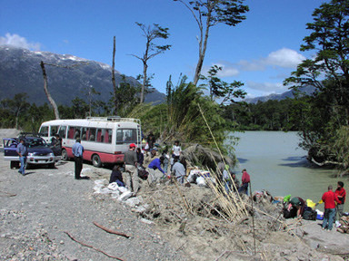
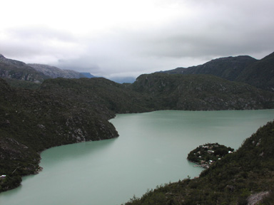
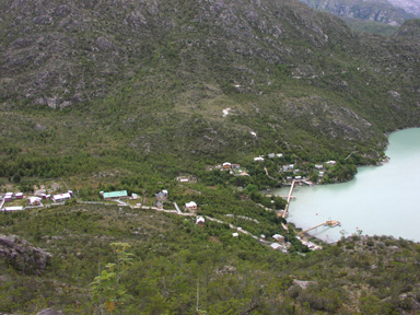
Puerto (!!) Vagabundos
arrival at Caleta Tortel
The bus took us further down the Baker toward the Pacific Ocean.
The road stops at Vagabundos, though the military construction crew
continues to cut further south. There we boarded a launch for the
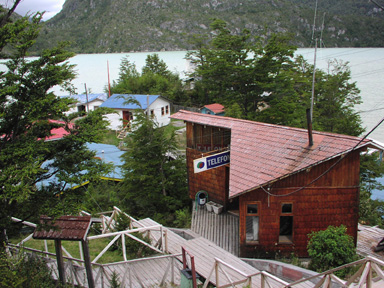
2-hour trip down river to Caleta Tortel (47º 49' latitude), a
unique village of 400 hardy people which is built on a steep mountain
side. There are no roads, only wooden sidewalks, 6 kilometers of
cypress walkways, so solid that there was hardly a squeak. The lack
of cars, bicycles, and horses makes for a quiet and pictoresque
village.
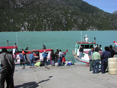
We shared the launch with cartons of frozen chicken and soda. The
people there only work in lumber and tourism. The village is located
directly between the northern and southern ice fields. One can
charter a boat to either field, but it is very expensive and takes 12
hours. I preferred to take hikes around the village.
© 2002 Roger Emanuels